Landsat 9

Landsat 9: The Mission
Landsat 9 is a joint mission formulated, implemented, and operated by the National Aeronautics and Space Administration (NASA) and the United States Geological Survey (USGS). The mission builds upon previous Landsat missions and extends the global collection and distribution of data by the Landsat program beyond 50 years. Landsat data constitutes the longest continuous record of Earth’s surface as seen from space, a unique and valuable resource for applications including agriculture, land use mapping, forestry, and water resource management.
Landsat 9 Launch

About Landsat 9
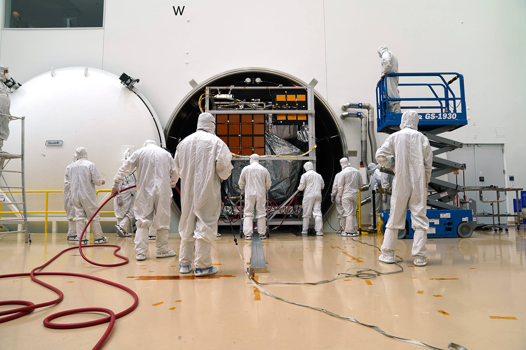
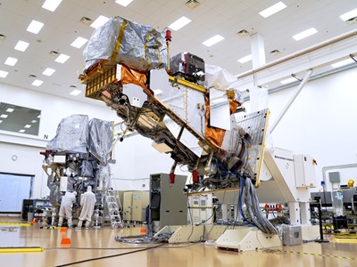
The simple, robust design of the Landsat 9 spacecraft is based on Northrop Grumman’s flight proven LEOStar-3 platform, and extensively leverages the design of the Landsat 8 spacecraft, also built by Northrop Grumman. Northrop Grumman is responsible for the design and manufacture of the Landsat 9 spacecraft, the integration of the customer- furnished Operational Land Imager 2 (OLI-2) and Thermal Infrared Sensor 2 (TIRS-2) instruments, and full observatory environmental testing.


