Assured Positioning, Navigation and Timing (PNT)

fleet of ships on water
illustration of tank in desert

Positioning Systems Overcoming Any Challenge

Northrop Grumman’s approach moves the burden of trusted A-PNT Hub away from sole reliance on GPS to the complementary use of inertial devices augmented with additional alternative methods of navigation. Inertial Navigation Systems calculate direction moved over time, with a varying degree of drift, and with the use of high precision oscillators provide continuity of time. The Inertial Navigation Systems' great advantage is that they cannot be spoofed or jammed.

Assured Positioning, Navigation and Timing (PNT) - infographic


Trusted A-PNT

A range of sensors can contribute to the provision of Assured PNT, with their data fused using an open architecture, open interfaces and modular software.

Family of Inertial Measurement Units (IMU) and Navigators

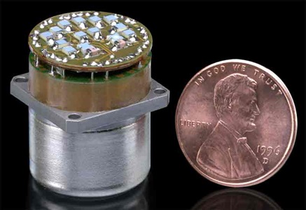
two-axis gyroscope next to penny

G-2000 Gyroscope Inertial Product Family

military helicopter in flight

LN-200 FOG Family Advanced Airborne IMU/AHRS

LN-200S Inertial Measurement Unit

LN-200S and LN-200HPS Inertial Measurement Units

Two E-2D Advanced Hawkeye aircrafr inflight

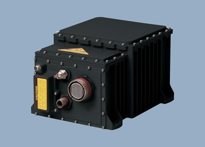
LN-251 Advanced Airborne INS/GPS (EGI)

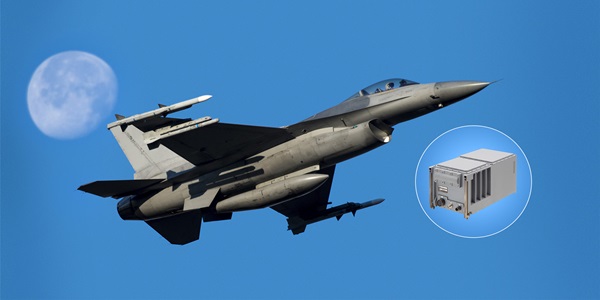
military jet in sky with callout of global positioning system unit

LN-260 Advanced Embedded INS/GPS (EGI)

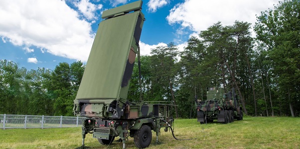
Three-dimensional, multi-mode, gallium nitride land radar displayed on grass

LN-270 Pointing, Locating, Navigation and Stabilization System INS/GPS (EGI)

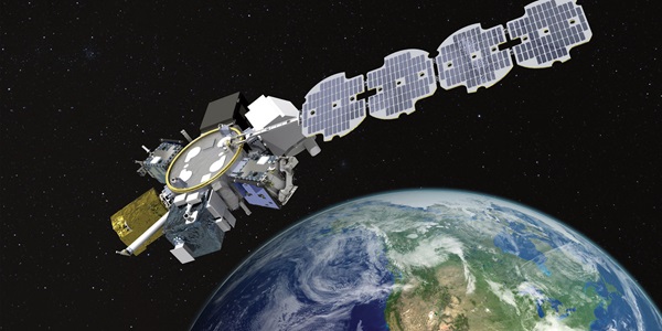
satellite hovering over earth

LR-450 Inertial Measurement Unit (IMU)

silhouette of two military jets in red sky

LR-500 Quad Mass Gyro (QMG) Inertial Measurement Unit

commercial aircraft in air with insert of inertial reference unit

LTN-101 FLAGSHIP™ GNADIRU

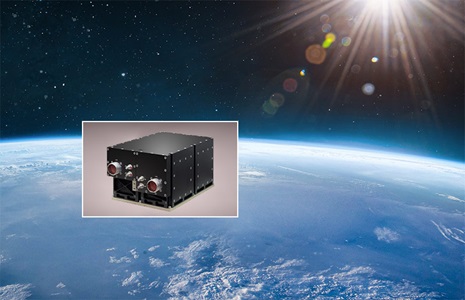
photo of gyro sensor overlayed on globe and space image

Scalable Space Inertial Reference Unit (SSIRU™) Family of Products

In the News

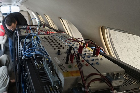
man performing pre-flight preparations aboard military plane

Northrop Grumman’s New Airborne Navigation System Achieves Successful Flight Test

satellite, ship, tank illustration

Northrop Grumman’s LEO Satellite Payload for DARPA Revolutionizes Positioning, Navigation and Timing

Contact Us

Service and Support
1-866-NGNAVSYS (646-2879)
Request Additional Information about